How does it work?
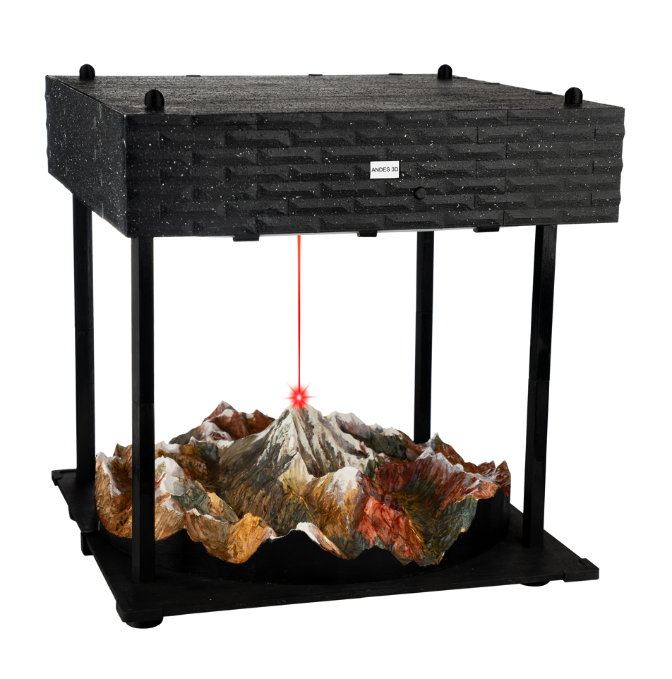
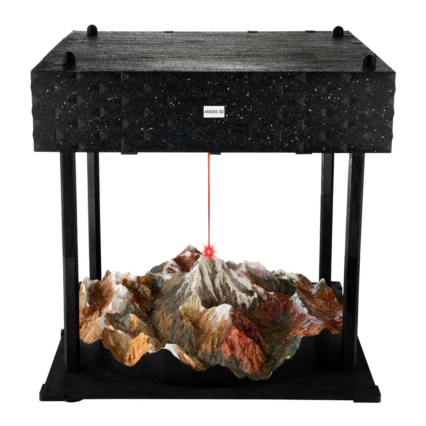
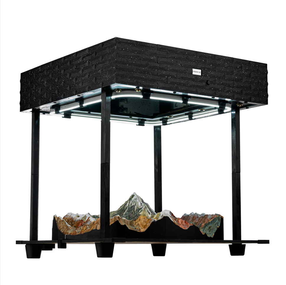
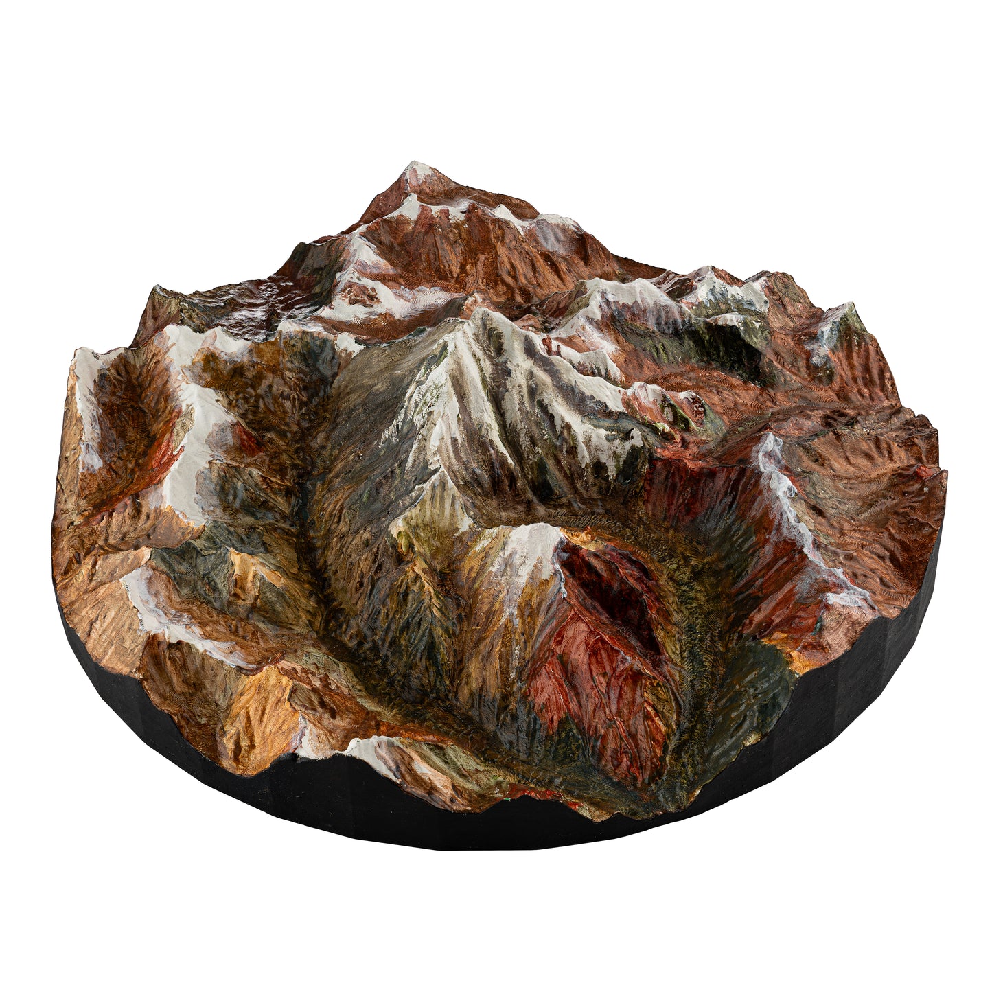
This innovative gadget utilizes Two-way sattelital GPS data to dynamically position a laser on a 3D model of a mountain. Mountaineers equipped with Garmin InReach or Spot Gen4 devices transmit their real-time coordinates to the system, which then accurately projects a laser onto the corresponding point on the 3D model. This allows remote viewers to track the mountaineer's live progress and location on the mountain model, providing an immersive and engaging experience from the comfort of their own space, without the need for a computer or cell phone.
Simultaneously, the localization device receives text messages from the two-way sattelital GPS and displays them on a screen integrated into the front of the apparatus.
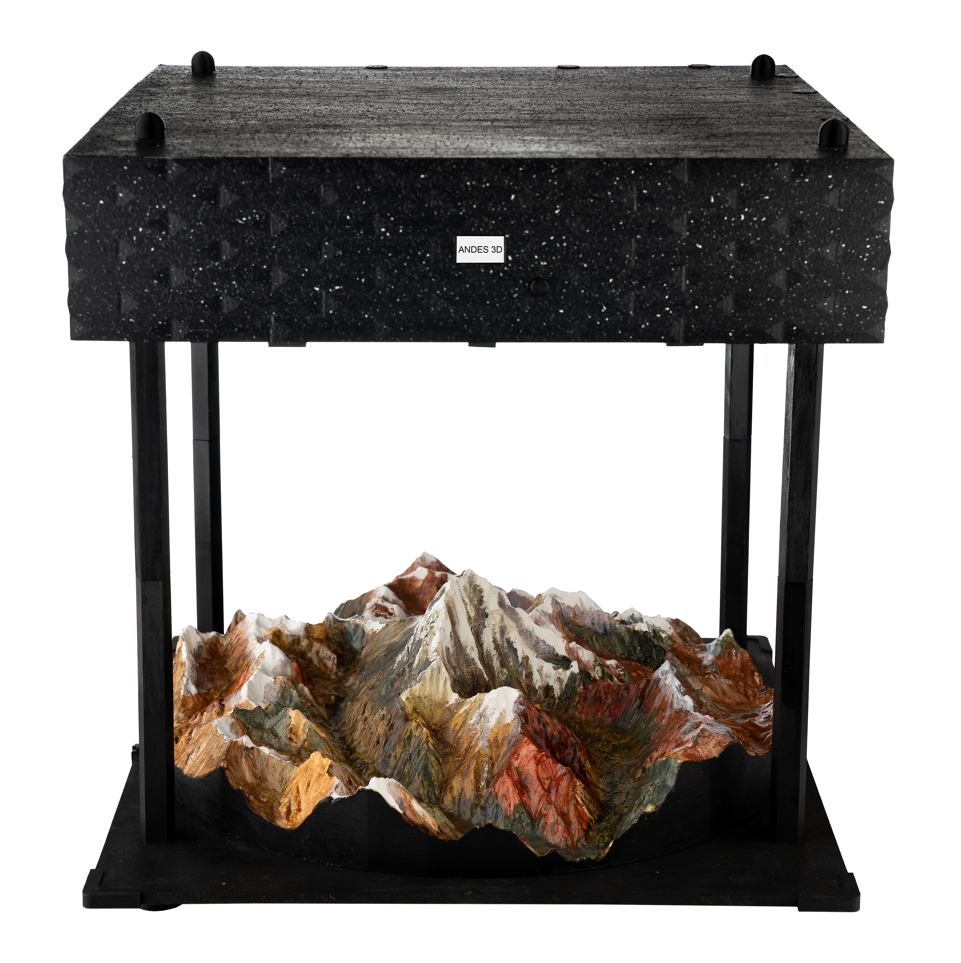
It's compatible with any mountain of your choice. You simply need to change the 3D model and easily choose your new destination by using our App
Check the video below
My Store
Localization Device
Share
